
(AURN News) — Hurricane Milton, the powerful category 4 storm with maximum sustained winds of 145 mph, is rapidly approaching Florida’s west coast, prompting urgent warnings from the NOAA National Weather Service Hurricane Center. As of 11 a.m. EDT on Wednesday, Milton was located approximately 190 miles southwest of Tampa, moving northeast at 17 mph. The National Hurricane Center reports that multiple life-threatening hazards are expected to impact much of Florida from Wednesday afternoon through Thursday.
“Milton right now, a category 4 hurricane, still expected to be a major hurricane when it reaches the west coast of Florida late this evening or overnight, tonight, and maintain hurricane status all the way across the Florida peninsula and out into the western Atlantic during the day, on Thursday,” said National Hurricane Center Director Michael Brennan on Wednesday morning.
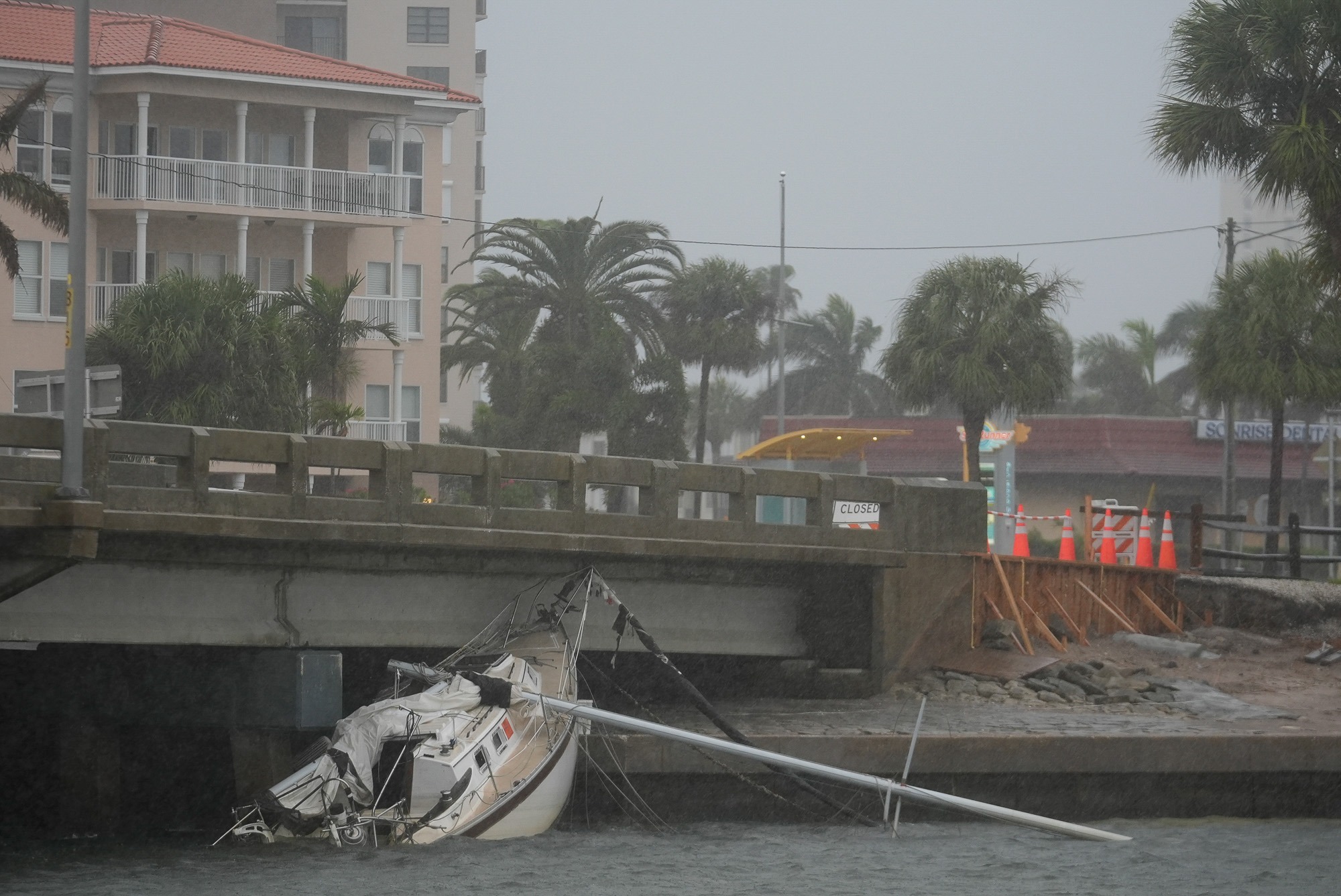
Forecasters at the National Hurricane Center are particularly concerned about the potential for devastating storm surge. A storm surge warning is in effect for almost the entire west coast of Florida. Areas from Anna Maria Island to Boca Grande could see 10 to 15 feet of inundation above ground level, while the Tampa Bay region may experience 8 to 12 feet of surge.
The Hurricane Center strongly urges residents in storm surge evacuation zones to evacuate immediately, warning that some areas may become uninhabitable for an extended period due to structural damage and washed-out roads. In addition to the storm surge threat, Milton is expected to maintain major hurricane status as it makes landfall late Wednesday evening or overnight. Hurricane warnings are in effect for a large portion of central Florida, including Fort Myers, Tampa, St. Petersburg, Ocala, Orlando, Melbourne, and St. Augustine.

Officials also caution that the storm will bring significant structural damage, widespread power outages, and impassable roads due to debris. Inland areas along the I-4 corridor are also expected to experience hurricane-force wind gusts. Heavy rainfall poses another significant threat, with 6 to 12 inches expected along and north of Milton’s track, and isolated amounts of up to 18 inches possible. This could lead to widespread, life-threatening flooding, particularly along the I-4 corridor from Tampa to Orlando to Daytona Beach.
As Milton approaches, residents are advised to stay informed through multiple channels, including wireless emergency alerts and battery-powered weather radios, to receive critical updates on flash flood and tornado warnings.
For the latest updates on Hurricane Milton, you can visit the National Hurricane Center’s website.
Click play to listen to the AURN News report from Jamie Jackson: