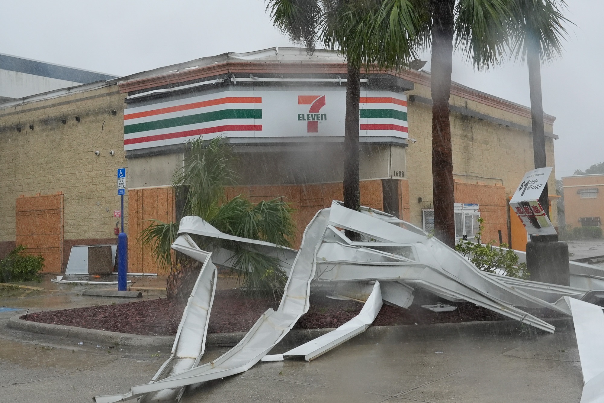
(AURN News) — As Hurricane Milton bears down on Florida’s west coast, the NOAA National Weather Service National Hurricane Center is warning of an elevated tornado threat across much of central and southern Florida. The National Hurricane Center reports that the tornado risk associated with Milton is greater than typically seen with most landfalling hurricanes. A tornado watch has been issued through 9 p.m. EDT Wednesday, covering a large area from Orlando south to Lake Okeechobee and extending across much of central and southern Florida.
Multiple tornadic thunderstorms have already been observed. These tornado-producing storms are expected to advance northward with one tornado already confirmed. The elevated tornado threat comes in addition to the numerous other hazards posed by Hurricane Milton. As a powerful Category 4 storm with maximum sustained winds of 145 mph, Milton is expected to bring devastating storm surge, destructive winds, and heavy rainfall to much of Florida.
Residents in evacuation zones are urged to leave immediately and officials are asking for all Floridians to complete their storm preparations and be ready to shelter in place as Hurricane Milton approaches.
For the latest updates on Hurricane Milton, you can visit the National Hurricane Center’s website.
Click play to listen to the AURN News report from Jamie Jackson: